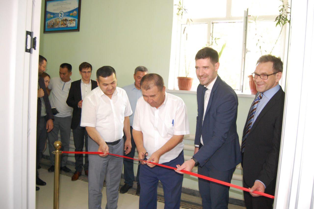
The Center and Laboratory of Geoinformation Technology” began its activities in our institute
In paragraph 5 of the Cabinet of Ministers Decree № 275 of May 4, 2021 “On the organization of the Karakalpak Institute of Agriculture and Agro-technology,” starting with the 2022-2023 academic year, taking into account the soil and climatic conditions of Karakalpakstan, the German Society for International Cooperation (GIZ-ECO-OROL-Project Regional Development, focused on ecology in the Aral sea) in the Institute to use geographic data technology in land degradation and environmental monitoring
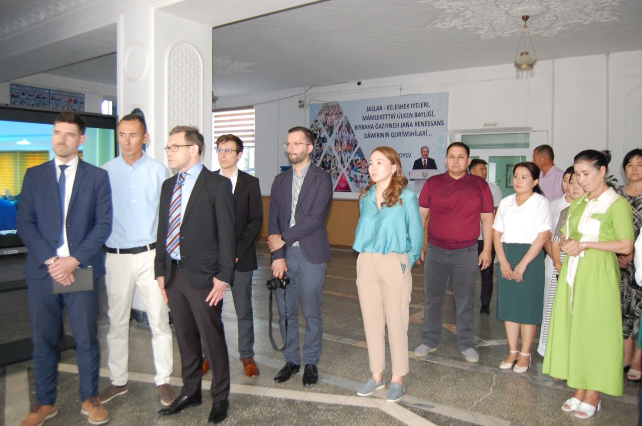
In order to ensure the implementation of these tasks, on June 22 this year at the Institute of Agriculture and Agrotechnologies of Karakalpakstan, the German Society for International Cooperation (GIZ) and the Ministry of Agriculture of the Republic of Uzbekistan held a regional conference “Environmentally oriented region”. the basis of the joint project “Development”.
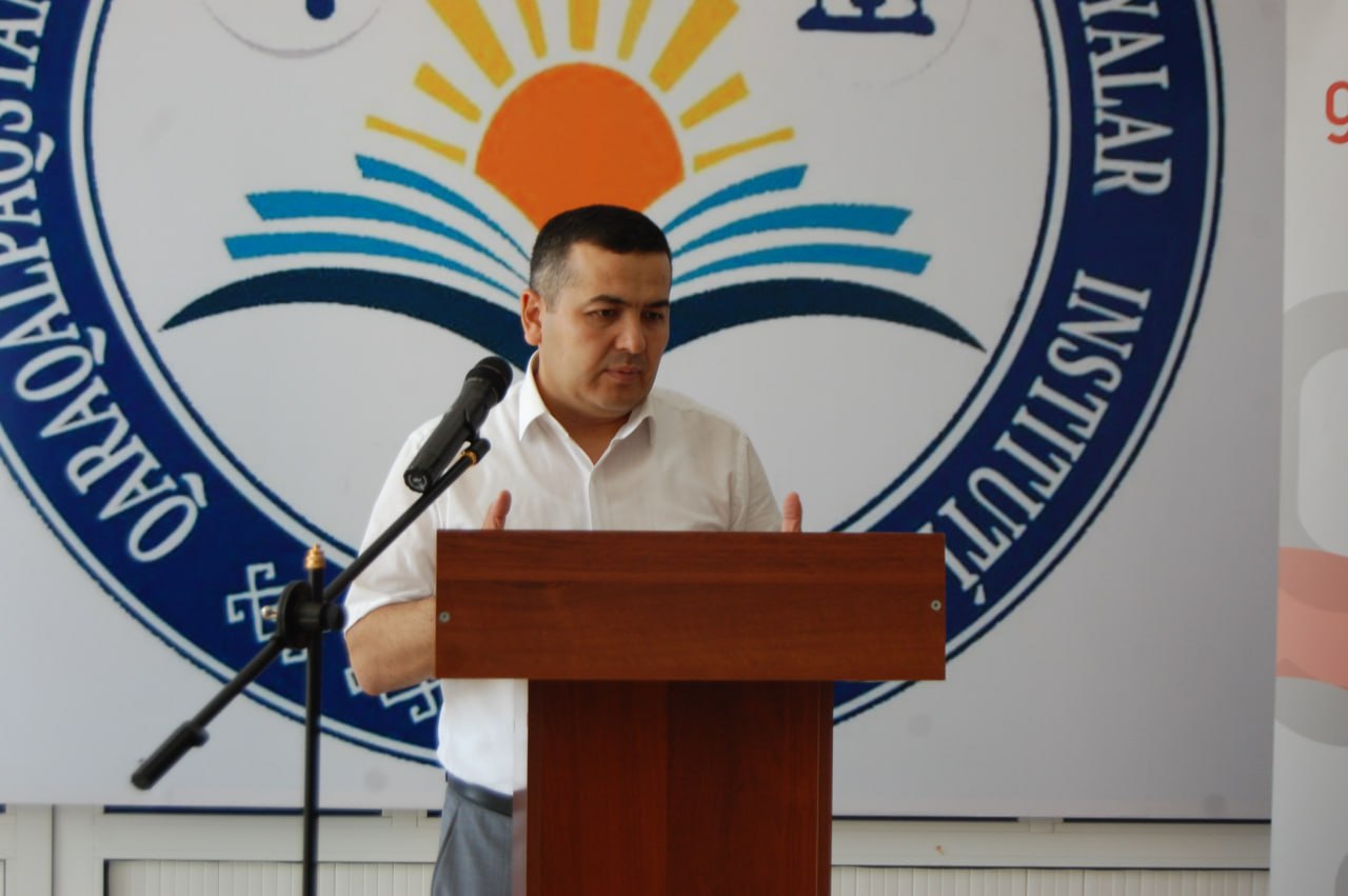
The rector of the Karakalpak Institute of Agriculture and Agrotechnologies E. Toreniyazov, Advisor to the Minister of Agriculture of the Republic of Uzbekistan A. Shukurov, GIZ, head of the regional development project ECO- ARAL Paul Schumacher, Igor Klein, representative of the German Aerospace Center spoke at the event.
– One of the main directions of the project of the Ministry of Agriculture and the German Society for International Cooperation GIZ, ECO-ARAL – “Ecology-oriented regional development in the Aral sea” has a positive impact on the ecological environment in the Aral Sea region of the Republic of Karakalpakstan “consists of shows”, – says
A. Shukurov, Advisor to the Minister of Agriculture of the Republic of Uzbekistan.
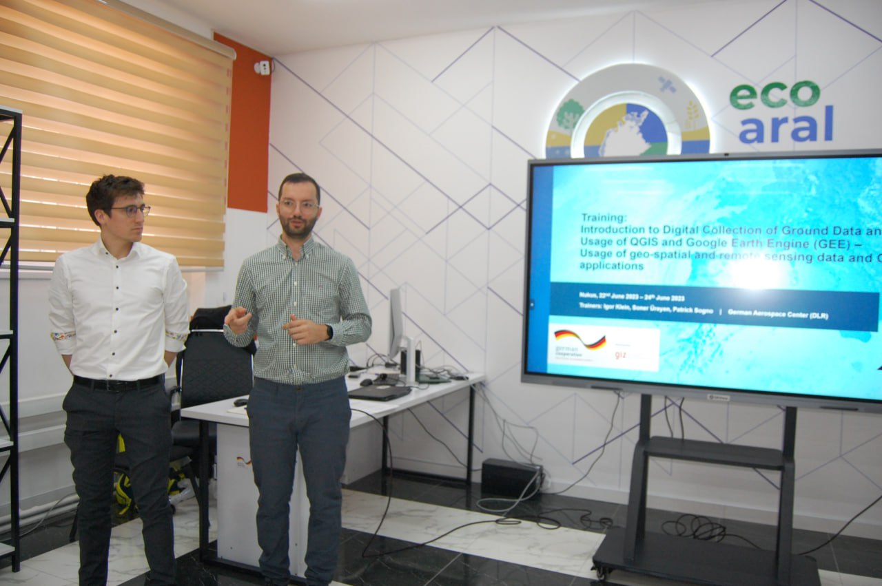
– One of the important goals of our project is to educate young people, introduce them to innovations and train them by establishing cooperation with the higher education system. To this end, the Center and Laboratory of Geoinformation Technologies is being created at the Institute of Agriculture and Agrotechnologies of Karakalpakstan, the main purpose of which is to map and systematize geographic information based on modern technologies, as well as to create digital maps. .
This is one of the important technologies for agriculture, and it is a system that serves, in particular, for digital mapping of arable land, pastures, wetlands and water bodies.
This system is mainly used by students, practitioners and industry professionals. It will become a new center for the integration of education, science and production.
During the event, the participants got to know the laboratory better and received expert answers to their questions.
In the next part of the event, a training seminar was held, aimed at a broad explanation of the services and tasks of the laboratory.